Basics
- Date added: Added 5 days ago
- Category: Lots and Land
- Type: Residential
- Status: Active
- Half baths: 0
- Lot size: 784080 sq ft
- Zone: Agricultural Open Space
- County Or Parish: Yellowstone
- Number of Lots: 1
- DOM: 9
- MLS ID: 350083
Description
-
Description:
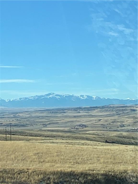
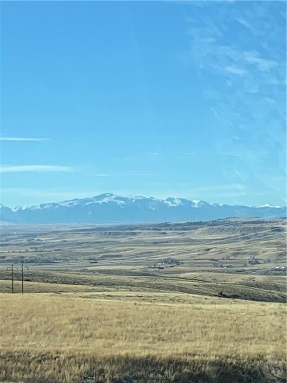
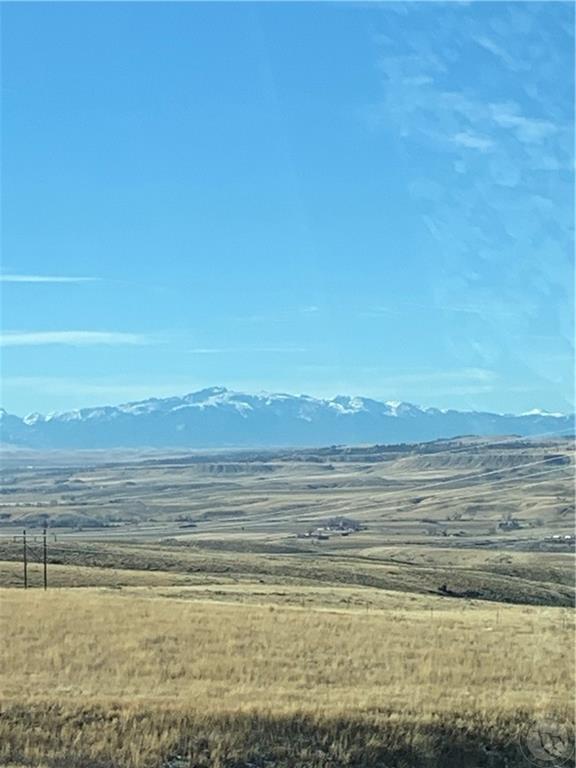
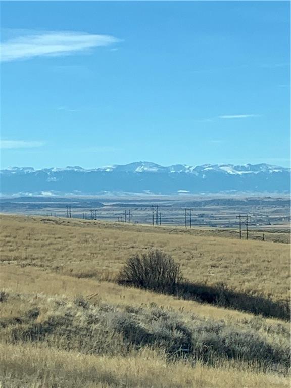
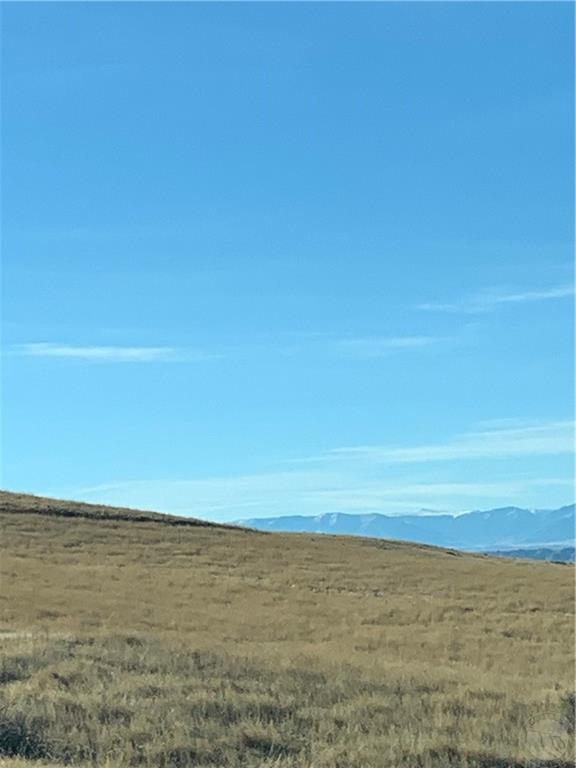
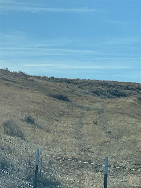
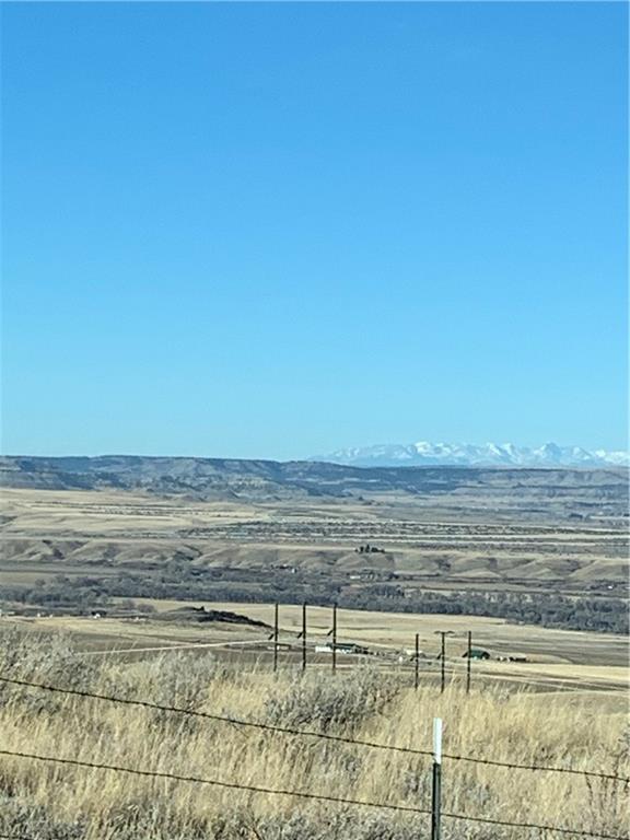
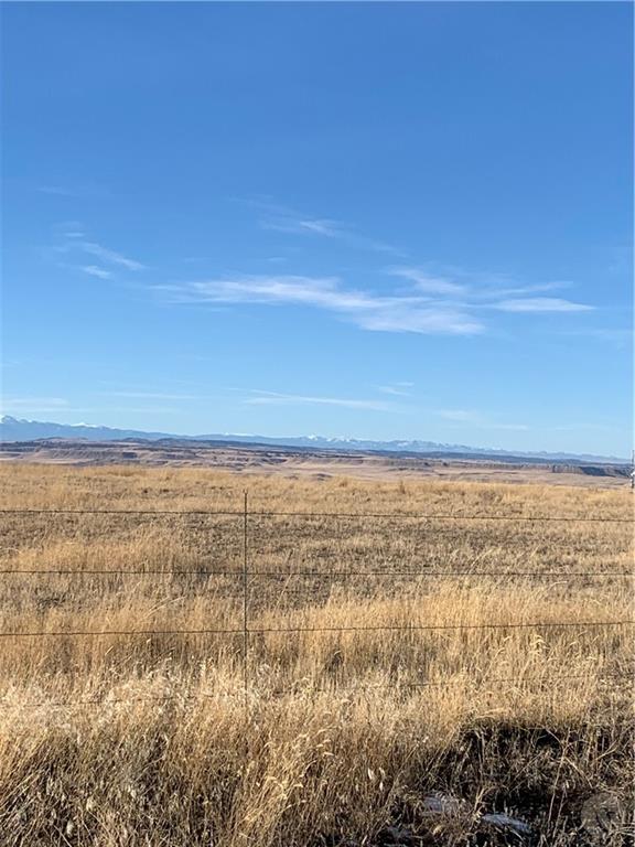
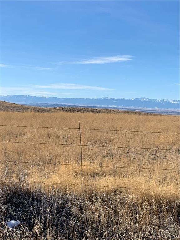
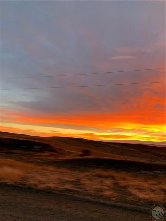
S22, T03 S, R24 E, ACRES 18, W2NW4, N2SW4 LESS COS 3321 (I-1077 HERE 2011) 320 BLM acreage adjacent, 1500 acres Conservation Easement also adjacent. Spectacular views of Beartooth, Absaroka, Pryor, Crazy, Little/Big Snowy MT, Bighorn, Bull MT. Ranges. Also views of Clarks Fork River Valley, Yellowstone River Valley. 10 miles south of Laurel, 25 miles southwest of Billings. Electricity next to property. One-of-a-kind setting. Each parcel is approximately 18 acres for $255,000 each. Property boarders Moser Dome RD for easy access.
Show all description
Location
- Lot Description: Hilly,Level,Secluded,Slope,View
- Directions: 10 mi so Laurel. I 90, so 212 crossing Yellowstone Bridge 1.7 mi, left to Clarks Fork River RD, 1.2 mi to Byam Rd, left, cross RR Tracks, .7 mi, right to Moser Dome Rd 4.9 mi, left heading south, past Round Butte, parcel is n/s of Cell Tower.
Building Details
- Water: Available,Cistern
Amenities & Features
- Sewer: Available,None
- Gas: No
- Electric: Available,In Proximity
Miscellaneous
- Street Surface: Gravel
- Virtual Tour Link: https://www.propertypanorama.com/instaview/bmt/350083
- Possession: At Closing
- Road Frontage: 30
- Subdivision: none
- Parcel Number: on file
- List Office Name: Becki Newell Realty
Nearby Schools
- Junior High School: Laurel
- High School: Laurel
- Elementary School: Laurel
Fees and Taxes
- Tot Taxes: $1,281

