


Basics
- Date added: Added 11 months ago
- Category: Lots and Land
- Type: Residential
- Status: Active
- Half baths: 0
- Lot size: 130680 sq ft
- Zone: Agricultural Open Space
- County Or Parish: Yellowstone
- Number of Lots: 1
- DOM: 198
- MLS ID: 350072
Description
-
Description:
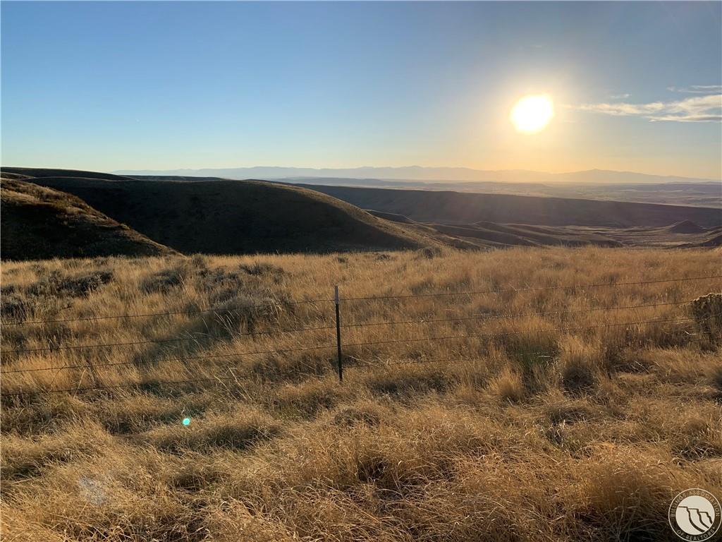
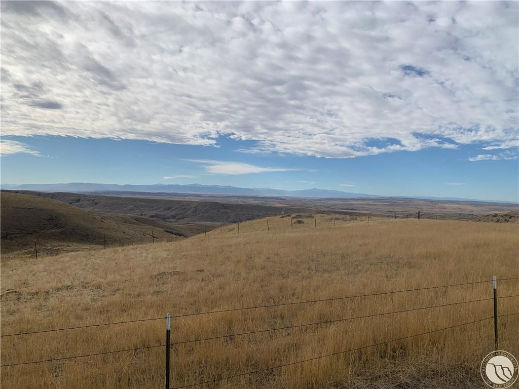
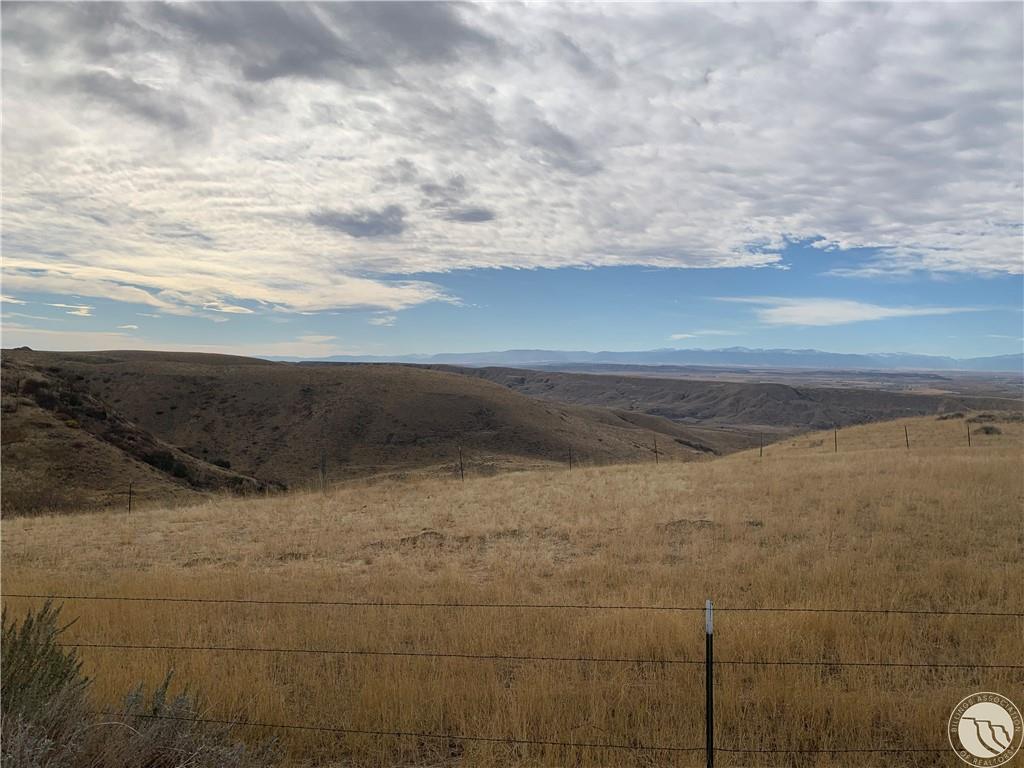
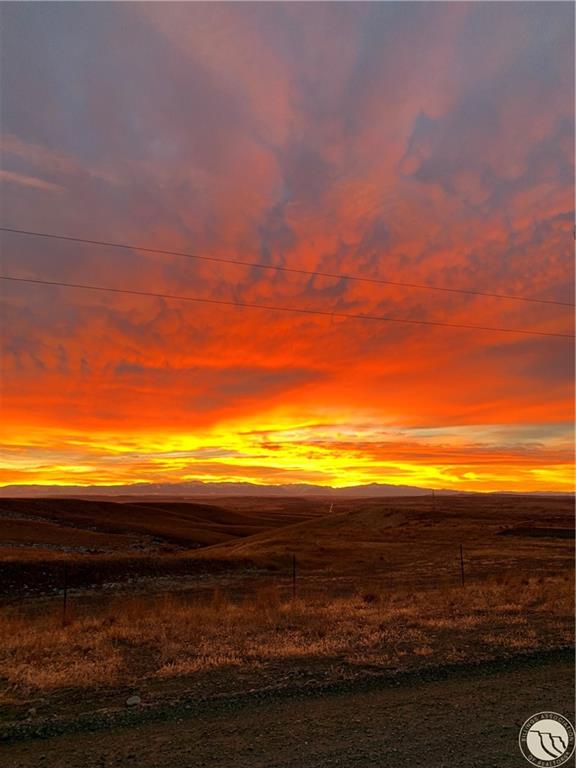
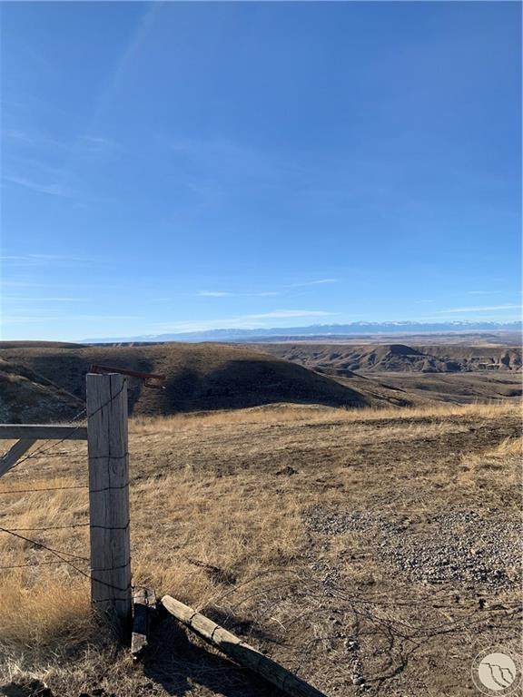
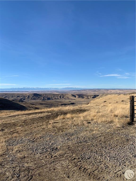
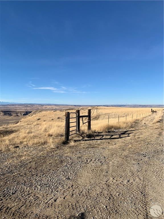
S27, T03 S, R24 E, ACRES 87.885, N2NE, NENW (LESS COS 3149) approximately 3 acre parcel of land is located on the Southwest corner. Spectacular views of Beartooth, Absaroka, Pryor, Crazy, Little/Big Snowy MT Ranges. Also views of Clarks Fork River Valley, Yellowstone River Valley. 10 miles south of Laurel, 25 miles southwest of Billings. Electricity next to property. Wispwest and Rural Broadband are located in proximity for internet and phone. Propane gas is available. Moser Dome Rd is maintained 12 months a year by Yellowstone County Roads Department. BLM acreage and Conservation Easement nearby. Moser Dome Rd. is maintained 12 months a year by Yellowstone County Roads. Nearest well is approximately 1 mile away. Available are licensed water hauling services. Go2uwater, Aqua Goat, and several others in the area. Several water drilling services in the area. Option to haul your own water. Fox Water Service in Laurel- water available. 35 gal. @ .25 per gal.
Show all description
Location
- Lot Description: Secluded,Slope,View
- Directions: I 90, south 212 crossing Yellowstone Bridge 1.7 miles, left to Clarks Fork River RD, 1.2 miles to Byam Rd, left, cross RR Tracks, .7 miles, right to Moser Dome Rd 4.9 miles, left heading south, past Round Butte, past Cell tower 2.7 miles.
Building Details
- Water: Available,Cistern
Amenities & Features
- Sewer: Buyer To Verify
- Gas: Available
- Electric: Available,Yes
Miscellaneous
- Restrictions: No Mobile Homes,No RV
- Street Surface: Gravel
- Virtual Tour Link: https://www.propertypanorama.com/instaview/bmt/350072
- Possession: At Closing
- Road Frontage: 30
- Showing Instructions: Appointment Needed,Call Agent,Vacant
- Subdivision: none
- Parcel Number: on file
- List Office Name: Becki Newell Realty
Nearby Schools
- Junior High School: Laurel
- High School: Laurel
- Elementary School: Laurel
Fees and Taxes
- Tot Taxes: $213